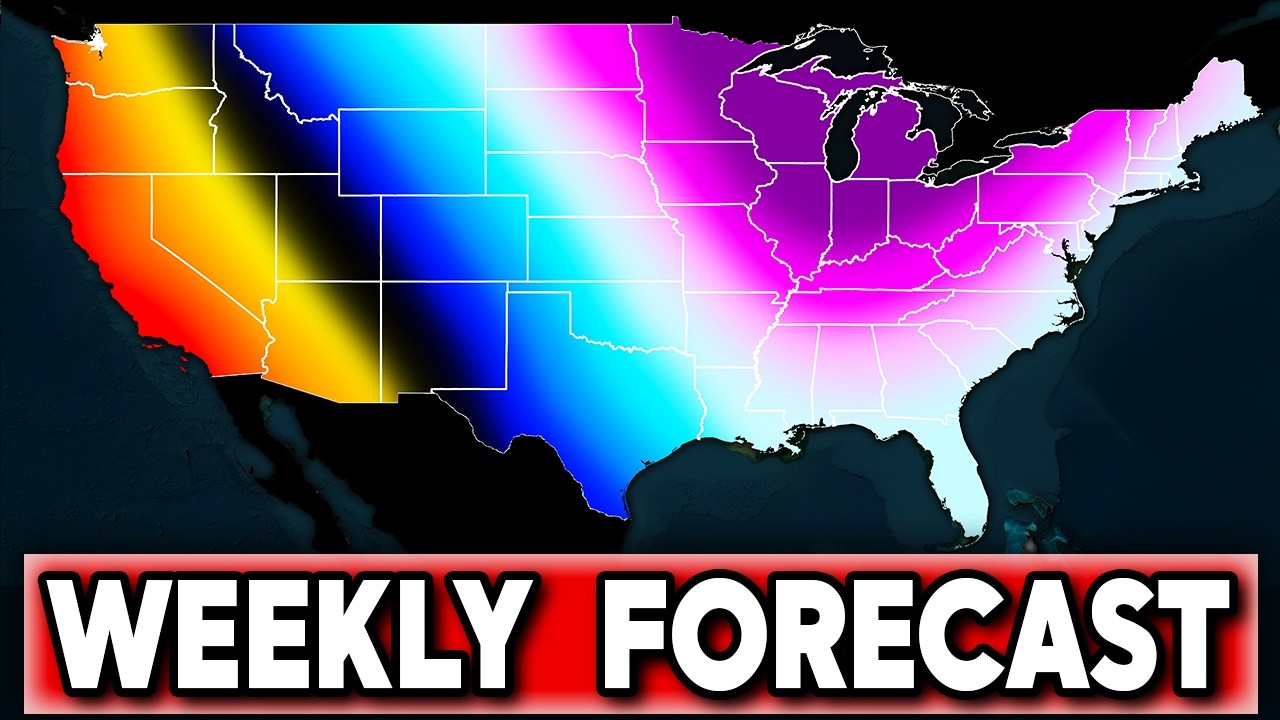
A stalled cool front is bringing a sharp divide Monday. Northern and western Minnesota and parts of the Dakotas see highs in the 40s and 50s with clouds and scattered showers or thunderstorms, while southeastern Minnesota and western Wisconsin stay in the 80s, with some spots still chasing daily records. The front moves through overnight, sending cooler air statewide for the rest of the week. Farther south, warm humid conditions and isolated storms hold through Wednesday before a stronger front arrives by early Friday, bringing breezy winds, rain chances, and a significant temperature drop into the weekend, with 40s possible into parts of the South by Saturday morning and frost or freeze potential farther northeast. NWS discussions note a portion of an Arctic airmass advecting into the Upper Midwest later, with some areas potentially seeing their first sub-freezing lows by Saturday. This follows Hurricane Isaias making landfall Friday as a Category 2 near Destin, leaving at least four dead and hundreds of thousands without power, and Hurricane Simon as a Category 4 off Mexico’s Pacific coast.
Got a news tip or correction? Let us know
If you got something out of this, please chip in to keep this site running, or subscribe to go ad-free.
19 views